The Makuyama & Nangoyama Hiking Course
[Walking time: about 3 hours and 25 minutes. Suited for average hikers.]
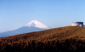
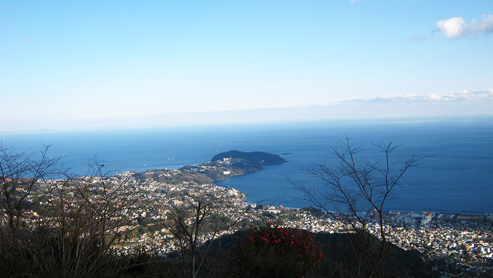
From the top of Mt. Nangoyama, 610 meters above sea level, the vista of Manazuru Peninsula jutting into Sagami Bay is quite a beautiful sight.
If you are interested in history, be sure to visit Jikansui Pond on this hiking course! Legend has it that it is where Yoritomo Minamoto fled to after losing the Battle of Ishibashiyama, and where he would have committed suicide after seeing his pitiful visage reflected upon the water’s surface, had his hand not been stayed by his ally, local clan leader Sanehira Doi. It is also known as “Jigaisui,” with “jigai” meaning “to commit suicide.”
As you stroll, nearby you can also see the remains of Shodo Jizo-do (“hall for guardian deities”) ― the Jizo-do appears in “Genpei Seisuiki” (“The Rise and Fall of the Minamoto and the Taira clans”), and is a good place for contemplating the Warring States period of Japan.
To get started, take a bus for Kajiya from Yugawara Station. After about 10 minutes, get off at the last stop, Goro-Jinja Bus Stop. Goro Shine, also referred to as Goryosha, is located here. The enshrined deity is Kagemasa Gongoro Kamakura, the ancestor of Kagechika Saburo Oba.
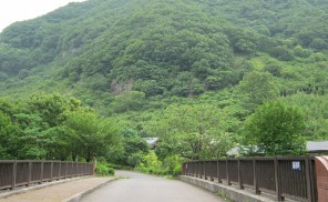
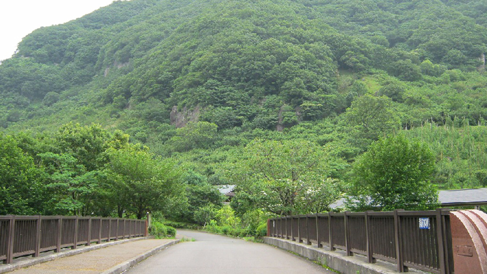
Shortly after going up the wide paved road in front of Goro Shrine, you’ll come to the branching road which leads to Mt. Nangoyama. Here, go straight ahead towards Makuyama. You can see the Shiroyama range clearly on the left side, and before long Makuyama will come into view ahead and to the right.
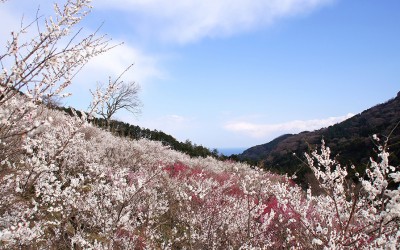
Walk along the narrow paved path, and you’ll see Makuyama Park on the left-hand side, and an ume (Japanese plum) grove with 4,000 trees on your right. A large guide map, reading “2,200 meters to the mountaintop,” marks the start of the trail.
About 30 minutes from the trailhead, you’ll come to an observatory with a rest house, and a scenic outlook of Manazuru Peninsula and the Shiroyama area stretching out in the distance. As you climb up, you’ll get a wider view of Yugawara’s streets and the area around Ito.
After about 40 minutes from the rest house, you will come to the footpath circling the top of Makuyama, covered with various seasonal plants and flowers that make for a pleasant walk. A grassy hill here offers a 360-degree panoramic view of the Boso Peninsula in the far east, Izu Peninsula in the west, the Shiroyama range nearby, the Nangoyama area, and other places. It is an ideal place for taking a bento lunch break.
Back at Goro Shrine, you can wait for a bus to return to Yugawara Station, or walk to the station in about 35 minutes.